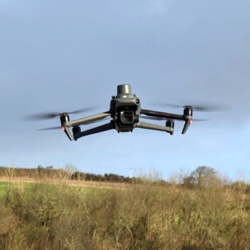
Unmanned Aerial Vehicles (UAVs) are used extensively for high resolution mapping in the context of earth and water resources and sets new standards for accuracy and presentation.
For discontinuity surveys, UAVs have transformed the collection of data for discontinuity analysis, consolidating GWP’s leadership in fracture data analysis and rock mass classification.
Expertise & Applications
- Production of 3D representation including Digital Elevation Models (DEM) and Digital Terrain Models (DTM)
- Discontinuity surveys and rock mass classification
- Level and positioning data on areas such as road and rail infrastructure without necessary access to the site or closure requirements
- Water catchment modelling and characterization for hydrological studies
- Landscape and visual assessments, Zone of Theoretical Visibility (ZTV) studies, slope analysis, 3D visualizations
Using UAV point clouds to run cut fill analysis and identify areas of change within a quarry environment
GWP Surveyors

Rhys Morgans
Survey Manager

Dan Watkins
Senior Surveyor
Get in touch:
Email info@gwp.uk.com
Call +44 (0) 1608 810374