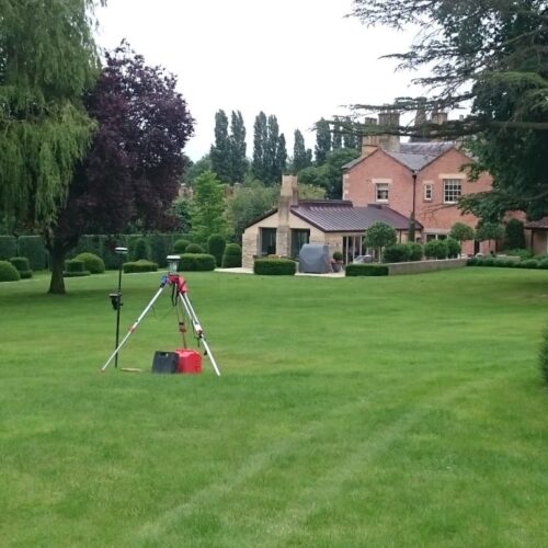
For planners, landowners, architects, and engineers, topographic surveys form the basis of land development projects. In tandem with our highly-skilled CAD office team, GWP’s surveyors produce true-to-scale 2D and 3D plans precisely detailing natural and man-made features, levels and boundaries to ensure you have a solid foundation for taking your land developments forward.
Topographic surveys also form the basis for flood risk assessment and modelling.
Expertise & Applications
- Land registry surveys and production of drawings to meet the requirements of the land registry specification
- Surveys for flood risk assessment
- Property surveys for architects
- Surveys for Landscape architects
- River cross sections
- Large scale woodland surveys to support the work of ecologists
GWP Surveyors

Rhys Morgans
Associate Partner and Survey Manager

Dan Watkins
Senior Surveyor