Our goal is to make your project flow smoothly by ensuring we diligently generate and manage the datasets that will form the basis of any surveying project.
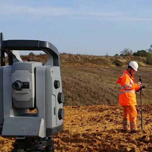
Using the latest surveying equipment, data is captured and mapped in a way that is right for each project and transformed into 3D digital models for analysis, computation of volumes, and reporting. Facilitated by today’s state-of-the-art technologies, the quality of presentation we achieve can transform your communication with commercial stakeholders and the community.
Expertise and Applications
- Face mapping surveys - rock mass characterization, joint mapping and access-limited geological mapping
- Landscape and visual assessment - zones of visual impact, slope gradient analysis & 3D visualization
- Landfill engineering surveys -cell construction setting out, capping surveys & thickness monitoring, panel layout surveys
- Landfill restoration setting out and monitoring
- Update surveys for quarry, landfill & earthwork projects
- Underground & tunnel surveys
- Stockpile audit surveys
- Earthworks volume calculation & cut/fill analysis
GWP SURVEYORS

Rhys Morgans
Associate Partner and Survey Manager

Dan Watkins
Senior Surveyor