PROJECT DESCRIPTION
GWP was appointed by UNDP to provide LiDAR, Geographical Information Systems (GIS) and geomorphological expertise to produce fluvial and coastal (storm surge and tsunami) GIS flood hazard maps for 25 district scale Community Investment Management Plans.
CHALLENGE
The Samoan Ministry of Natural Resources and Environment (MNRE) survey team sought support to remain on course for completing the flood risk mapping within the project timeframe.
SOLUTION
The work commenced with GWP establishing the methodology for a country-wide ground truthing survey to quality control the existing national scale LiDAR datasets and Digital Elevation Model (DEM), specifically targeting the likely coastal inundation zones. Inaccuracies were identified and quality improvement methods (additional topographic surveying) developed and deployed to ensure the DEM was fit-for-purpose for GWP’s subsequent flood hazard modelling activities. GWP produced a seamless national scale GIS flood hazard dataset, covering an area of 3,350km2.
IMPACT
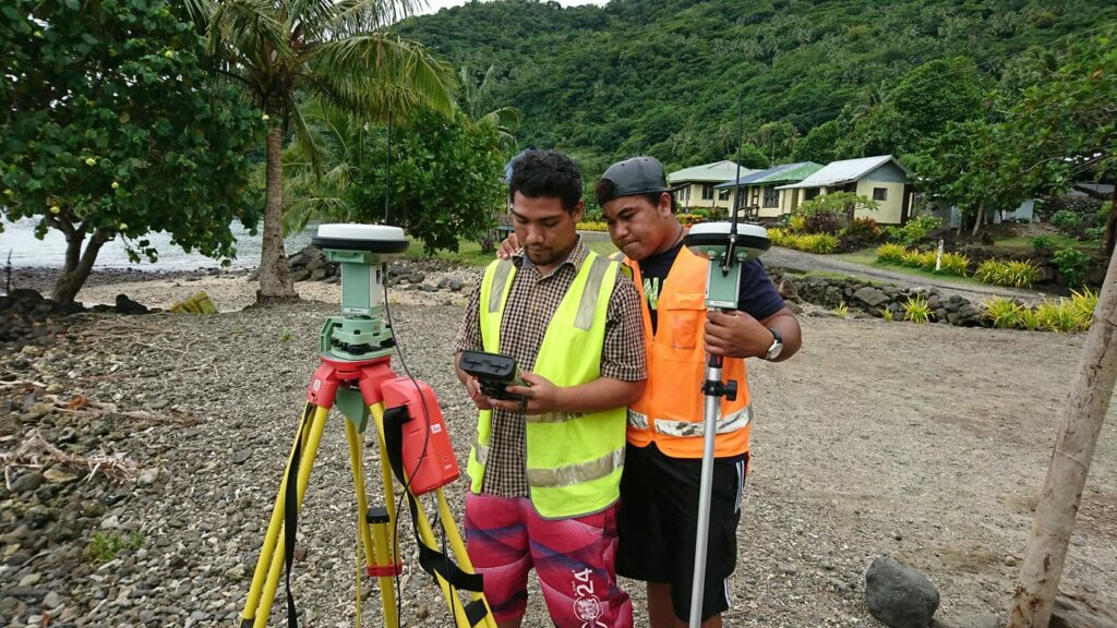
During the project, MNRE survey personnel took part in GWP designed skills training to independently complete the ground truthing survey within remaining districts. Training comprised use of MNRE Leica GPS equipment and setting up a connection to the local CORS (Continually Operating Reference Station) network to allow RTK corrections to be received via a data link.

GWP and Samoan Ministry of Natural Resources and Environment (MNRE) survey team mapping flood risk