Services:

Flood Risk Assessment, Groundwater Management

Sectors:

Infrastructure

Location:

UK

Client:

GWP supported a main contractor on HS2

GWP Contact:

Clive Carpenter

GWP were retained by one of the HS2 main contractors to provide technical advisory services related to Temporary Works groundwater and surface water management and Temporary Works consenting under the HS2 Act.

The following work is ongoing;

  • Development of innovative and efficient GIS-based surface water analysis for 80km of rail construction, including over 550 discrete on-site surface water management schemes to support discharge consent submission – each requiring perimeter drainage ditch networks, attenuation ponds, silt removal management and disposal outfalls, totalling >2,500 drainage assets.
  • Catchment analysis for peak flow estimation for over 400 off-site watercourses to be intercepted by >125km of boundary drains, protected (>55km) when crossing over the site and culverted by temporary haul and access roads, to support flood management consenting.
  • Hydraulic modelling and flood risk assessment for 36 river floodplain crossings, supporting Temporary Works design of causeways, bridges, and temporary flood compensation areas to manage both on site, upstream and downstream fluvial flood risk, inform designs and support flood management consenting.
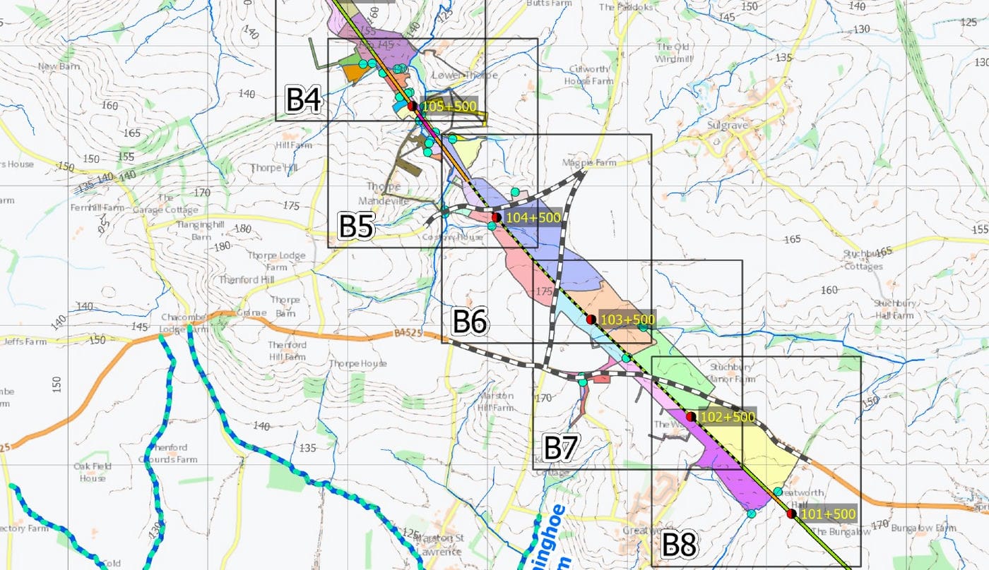
  • Groundwater risk assessments for over 250 construction assets requiring excavation (cuttings, tunnels, micro-bores, embankments, culverts and piling); many of which require de-watering. This involves the processing and management of 7000 geological database logs, 500 groundwater monitoring borehole data series, and more than 25 million data items, to support abstraction and discharge consenting.
  • Advice related to water resources for water supply (compounds, construction, dust suppression), considering groundwater, rivers, surface water, and rainwater. Inputs into the contractor’s Construction Water Resources Management Plan.
  • Support in developing Temporary Works water monitoring plans.
  • Development and management of a hydrological data app for environmental, consenting and site staff to view hydrological data alongside other geospatial and construction data.
  • Close engagement with environmental regulators, water companies and other stakeholders to define assessment strategies and secure their support and resolve outstanding issues before each submission.